The Maltese Archipelago

Sunlight Across Honeyed Limestone & Historic Harbours

From the fortress bastions of Grand Harbour to the tranquil rural plateaus of Gozo and turquoise waters of Comino, explore Malta with structured navigation, ferry schedules, and architectural insights.

UNESCO World Heritage Sites Inter-Island Ferry Connections 7,000 Years of Maritime History

Primary Island Guides & Regional Districts

Curated itineraries covering urban fortresses, prehistoric megaliths, scenic swimming bays, and tranquil sister islands.

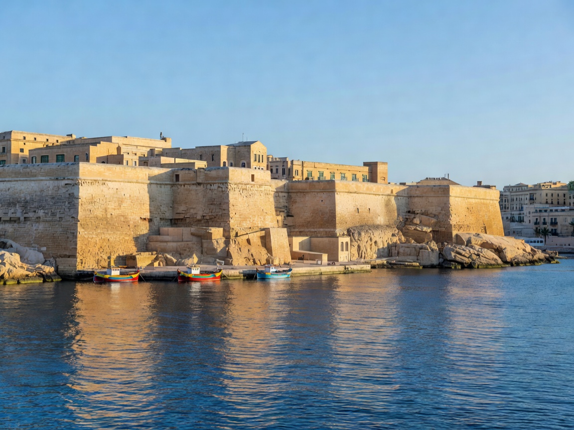
Panoramic view of Valletta bastions and the Grand Harbour waters
Capital & Maritime Bastions

Valletta & The Three Cities

Explore baroque palazzi, St. John's Co-Cathedral, the Upper Barrakka Gardens, and traditional dgħajsa ferry transits across Grand Harbour to Birgu.

Read District Guide
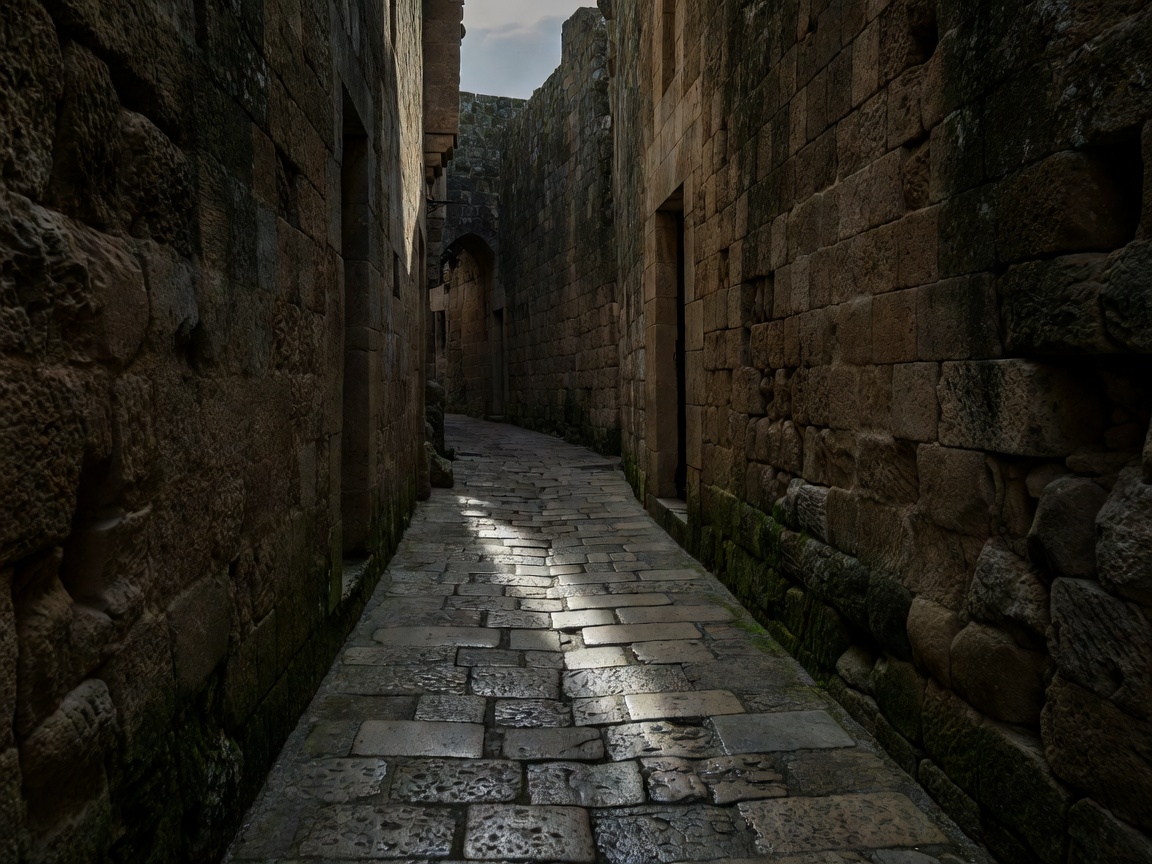
Narrow medieval stone alleyway in the ancient walled citadel of Mdina
Ancient Inland Citadel

Mdina & Rabat Heartland

Wander the car-free alleys of the "Silent City", descend into the Roman Catacombs of Rabat, and stand atop the windswept Dingli Cliffs.

Read Inland Guide
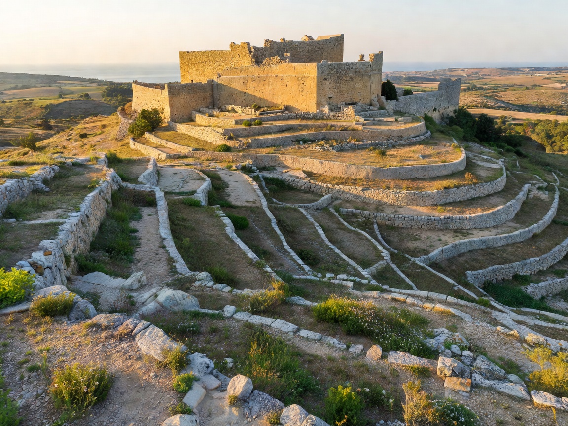
Terraced limestone hills and the fortified Cittadella of Gozo
The Sister Island

Gozo Island: Victoria & Coastlines

A slower Mediterranean pace with the megalithic Ggantija temples, Ramla Bay's red sands, coastal salt pans, and the restored Victoria Cittadella.

Read Gozo Guide
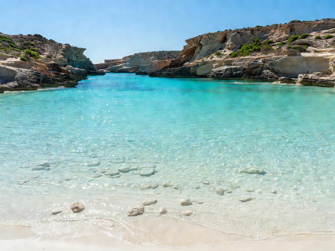
Vibrant turquoise shallows of the Blue Lagoon at Comino island
Channel Islet & Lagoons

Comino & The Blue Lagoon

Essential guidance on visiting Malta’s smallest inhabited islet, timing boat passages to avoid crowds, and discovering quiet coves like Santa Marija Bay.

Read Lagoon Guide
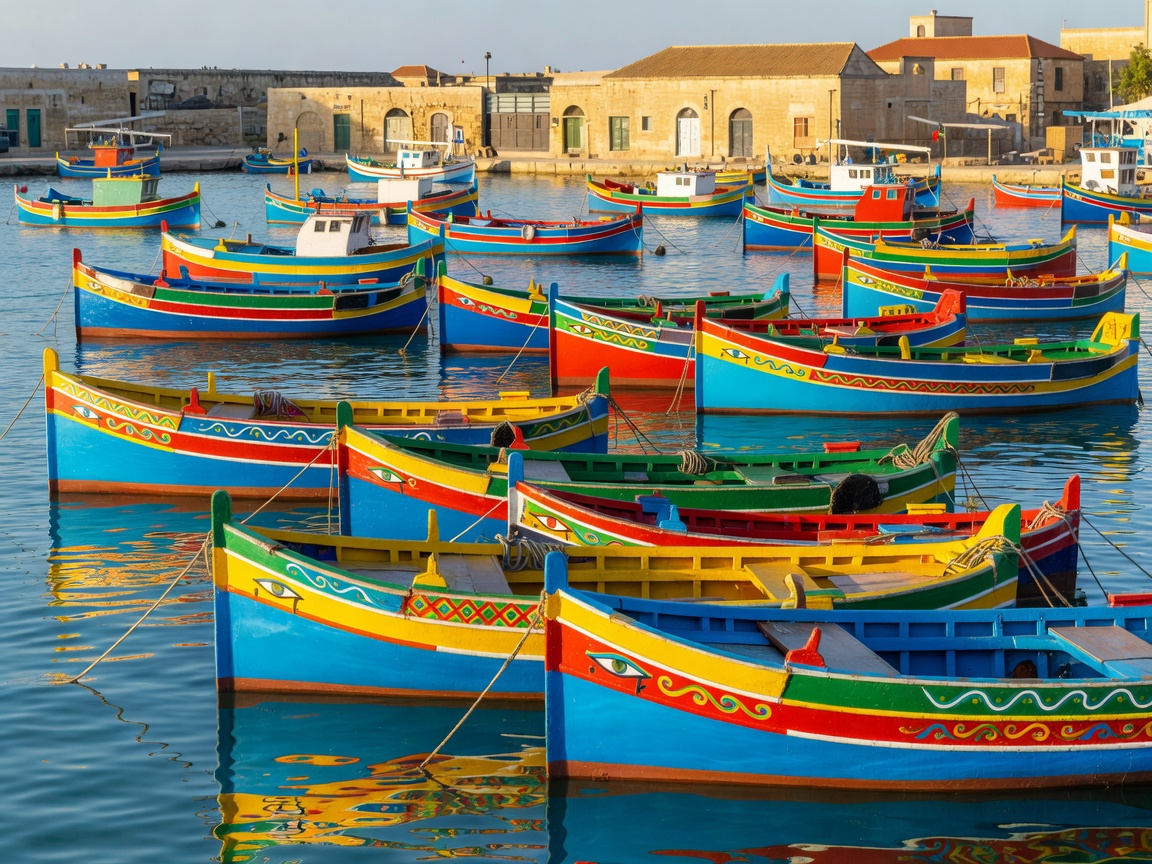
Traditional brightly painted luzzu fishing boats in Marsaxlokk harbor
Fishing Ports & Sea Cliffs

Marsaxlokk & Southern Malta

Observe the iconic painted luzzu boats, dine on fresh lampuki along the waterfront, swim at St. Peter’s Pool, and inspect the ancient Hagar Qim temples.

Read Southern Guide

Archipelago Navigation

Connecting the Islands: Waterborne & Land Transit

Malta’s geography spans three inhabited islands—Malta, Gozo, and Comino—separated by the South and North Comino Channels. Mastering island-hopping logistics requires understanding key maritime corridors and overland bus links operated by Malta Public Transport.

Main crossing routes include the continuous Ro-Ro vessel line connecting Ċirkewwa (Malta’s northern tip) to Mġarr Harbour (Gozo), alongside high-speed passenger catamarans running straight from the Valletta Grand Harbour Barrakka lift quayside directly to Gozo in 45 minutes.

Key Archipelago Transit Connections

MALTA Comino GOZO Ċirkewwa Harbour Mġarr Harbour Valletta (Fast Ferry)

Orange dash: Standard Gozo Channel Car & Passenger Ferry (~25 mins). Green dash: Fast Ferry Catamaran from Grand Harbour (~45 mins). Blue dash: Small boat shuttles to Comino Blue Lagoon.